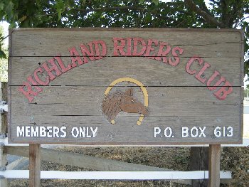
Entrance Sign
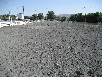
The Main Arena
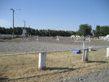
The East Arena looking north
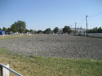
The East Arena looking south
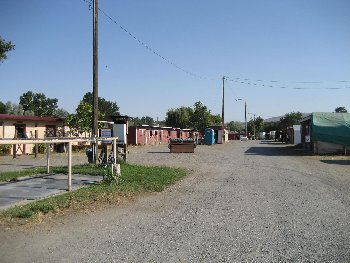
The East Barn Alley looking south
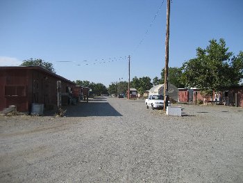
The East Barn Alley looking north
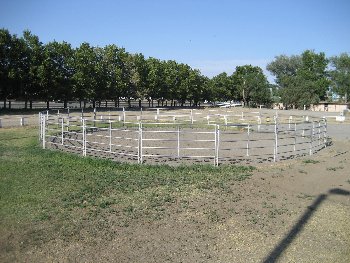
The North Roundpen
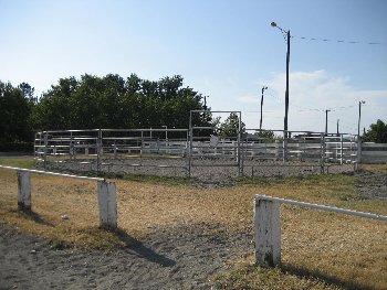
The South Roundpen
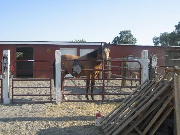
Typical Barn (Murphy shown)
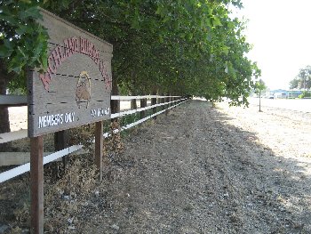
Van Giesen Roadside
|
Entrance Sign The Main Arena The East Arena looking north The East Arena looking south The East Barn Alley looking south |
The East Barn Alley looking north The North Roundpen The South Roundpen Typical Barn (Murphy shown) Van Giesen Roadside |